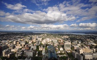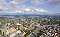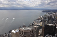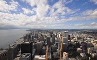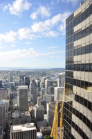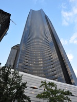
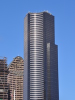
| Columbia Center (formerly Bank of America Tower and Columbia Seafirst Center) S M L XL headers |
|
S M L XL headers |
|
| Looking northeast S M L XL headers |
|
| Looking southeast towards Lake Washington S M L XL headers |
|
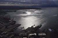
| Looking west over Elliot Bay S M L XL headers |
|
| Looking northwest S M L XL headers |
|
| Downtown skyscrapers S M L XL headers |
|
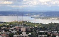
| Evergreen Point floating bridge S M L XL headers |
|
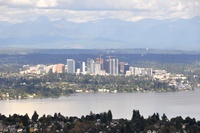
| Downtown Redmond and distant mountains S M L XL headers |
|
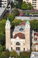
| St James Cathedral S M L XL headers |
|
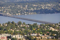
| Lacey V Murrow Bridge, floating bridge carrying I-90 across Lake Washington S M L XL headers |
|
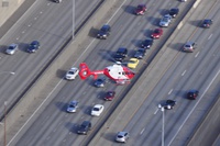
| Emergency medical helicopter S M L XL headers |
|
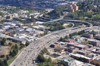
| The start of I-90, at its junction with I-5. 3025 miles later it reaches Boston Logan Airport S M L XL headers |
|
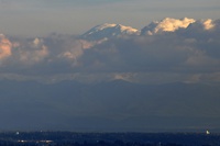
| Mount Rainier peeks above the clouds S M L XL headers |
|
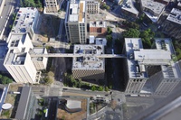
| King County prison, administration and court buildings, linked by a high-level walkway S M L XL headers |
|
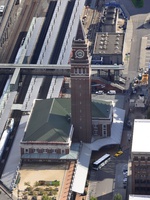
| King Street Station S M L XL headers |
|
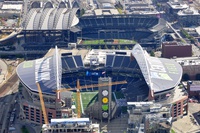
| CenturyLink Field and Safeco Field S M L XL headers |
|
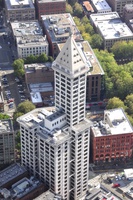
| Smith Tower S M L XL headers |
|
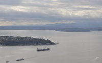
| Duwamish Head S M L XL headers |
|
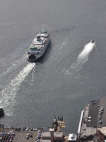
| A ferry departs Seattle Terminal S M L XL headers |
|
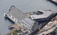
| Seattl Aquarium S M L XL headers |
|
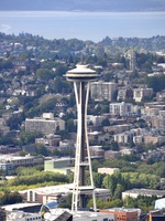
| Space Needle S M L XL headers |
|
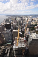
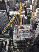
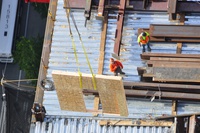
| Downtown skyscraper under construction S M L XL headers |
|
S M L XL headers |
|
| Elliot Bay S M L XL headers |
|
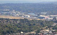
| Boeing Field (King County International Airport) S M L XL headers |
|
| Looking north, with corner of the building S M L XL headers |