S M L XL
headers
S M L XL
headers

S M L XL
headers

S M L XL
headers

S M L XL
headers

S M L XL
headers

S M L XL
headers

S M L XL
headers

S M L XL
headers
S M L XL
headers
S M L XL
headers

S M L XL
headers

S M L XL
headers
|
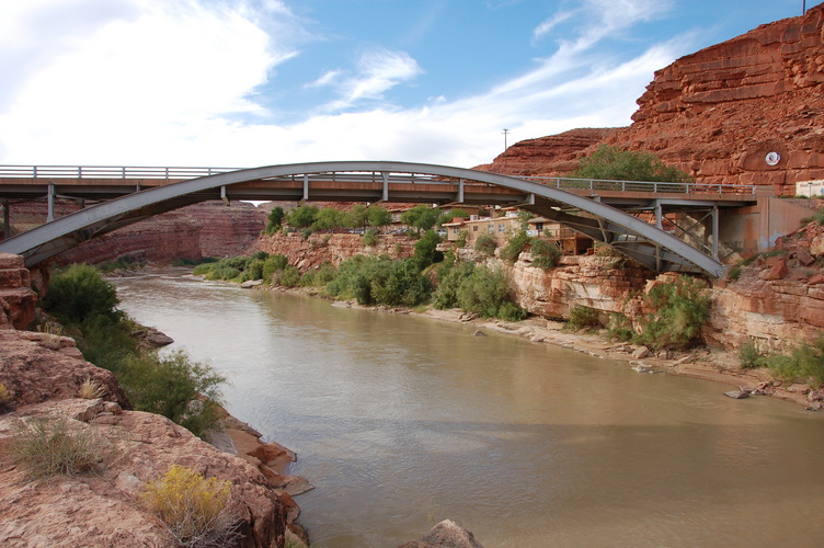
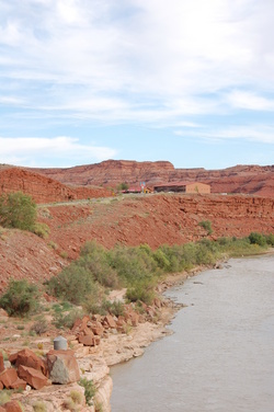
San Juan River at Mexican Hat S M L XL headers |
|
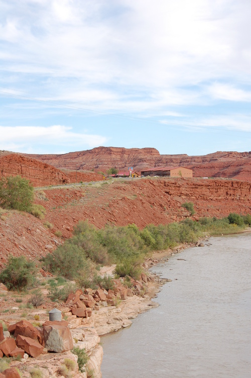
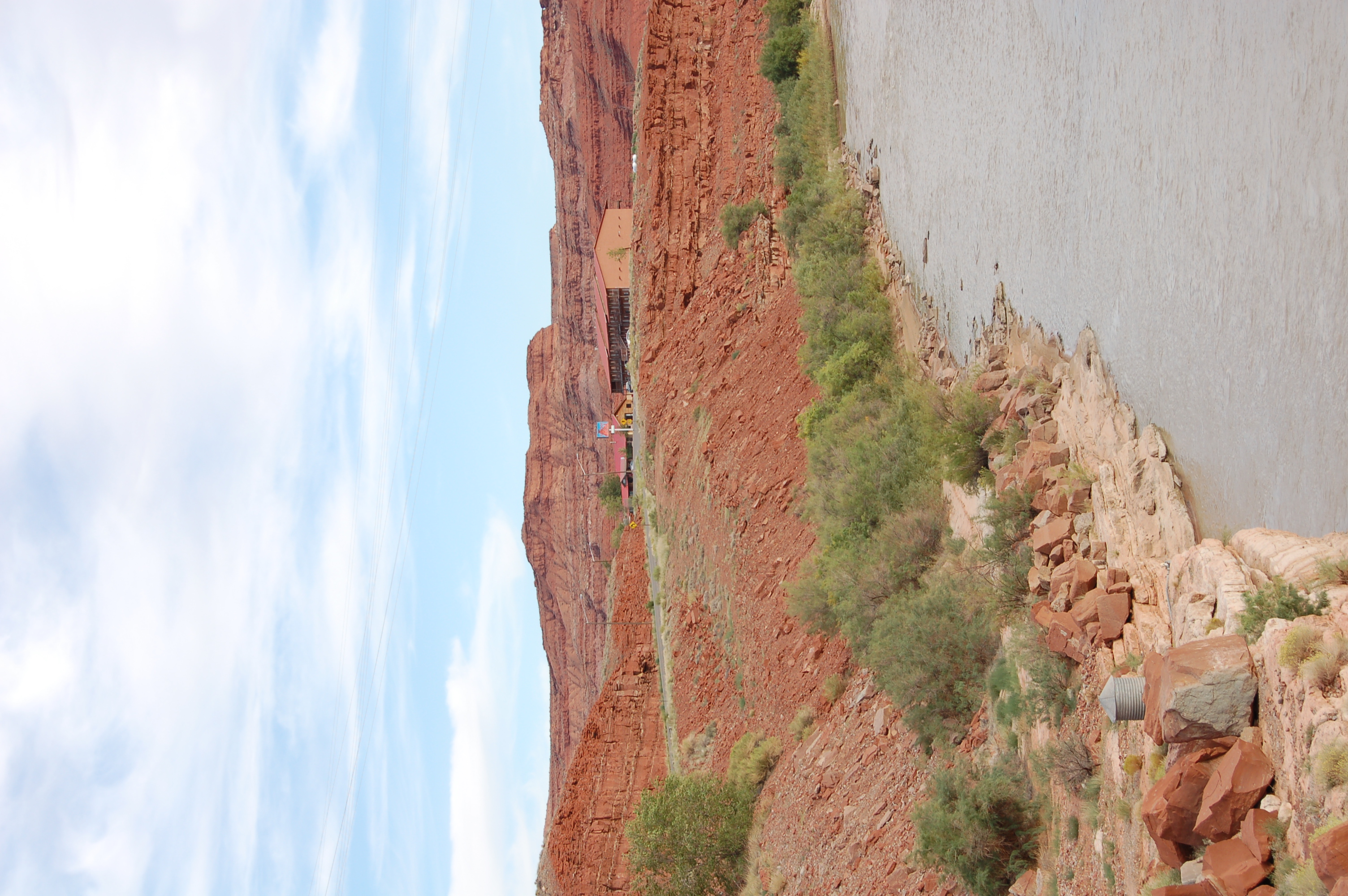
Looking upstream, with the Mexican Hat Lodge (where I stayed in 2000) S M L XL headers |
|
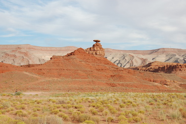
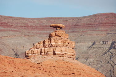
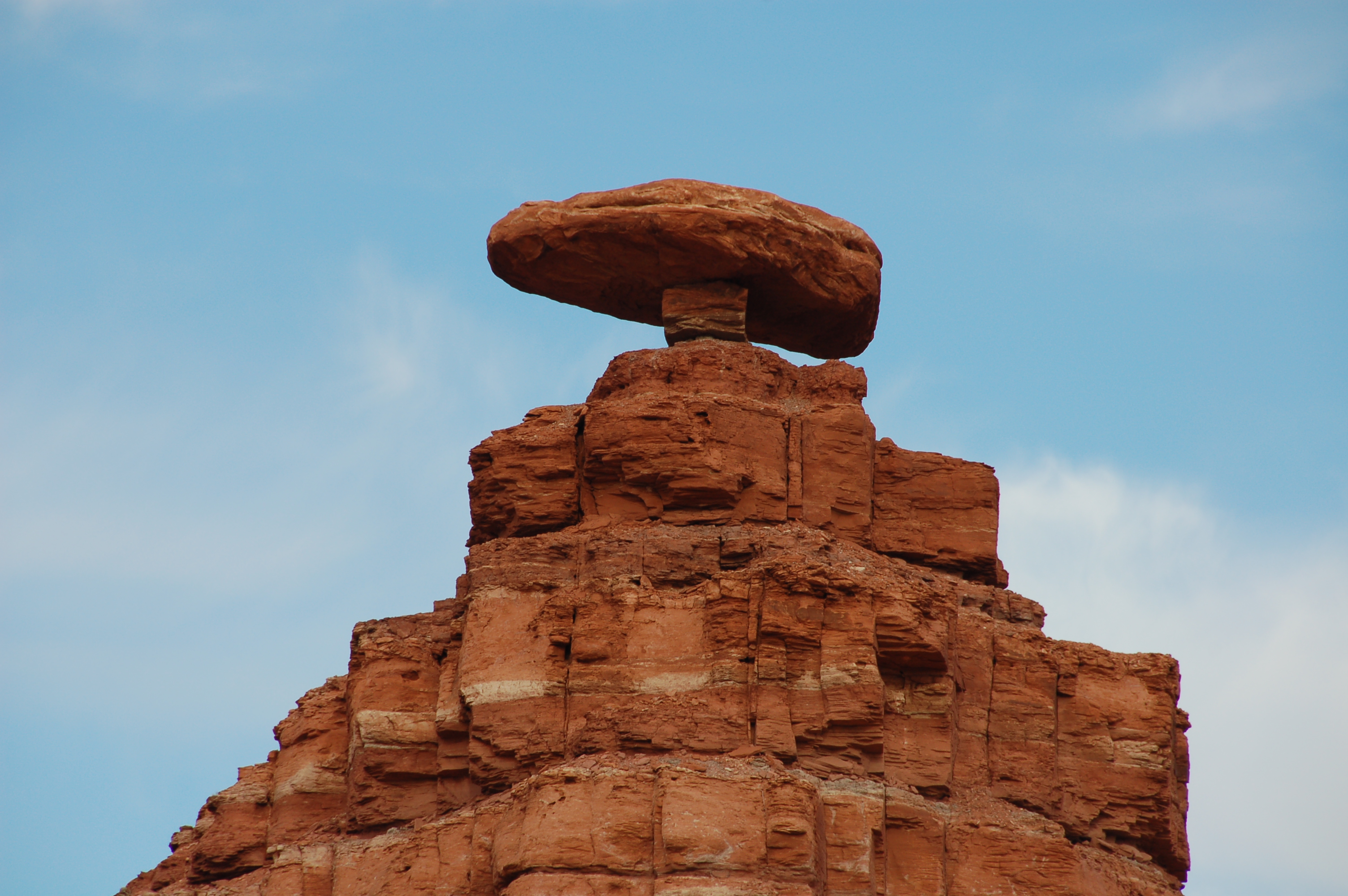
Sombrero-shaped rock just north of the town, after which it is named S M L XL headers |
|
S M L XL headers |
|
S M L XL headers |
|
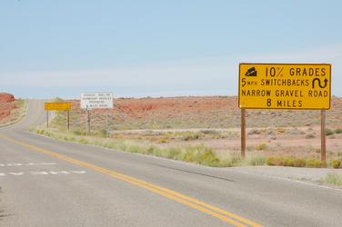
The Moki Dugway, part of Utah highway 261, ascends Cedar Mesa ahead, and these signs mean it S M L XL headers |
|
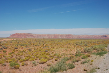
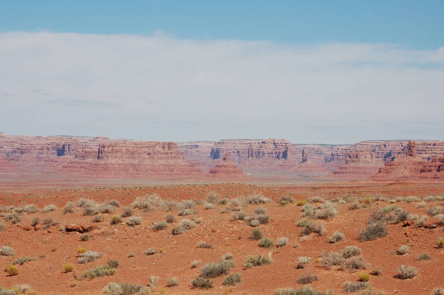
Cedar Mesa S M L XL headers |
|
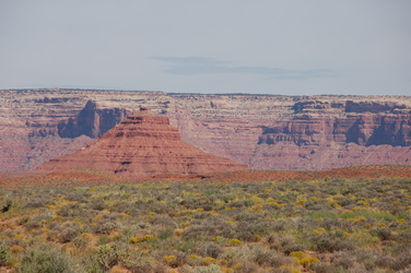
Bell Butte and Cedar Mesa S M L XL headers |
|
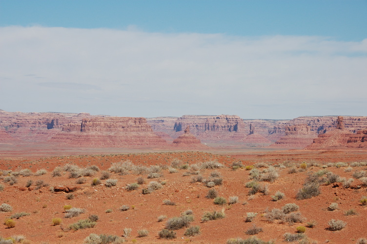
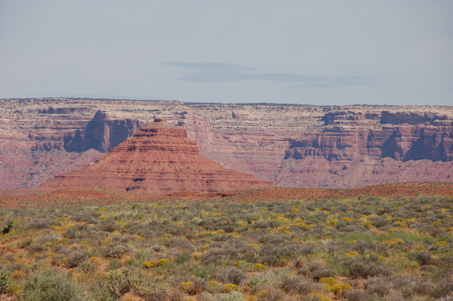
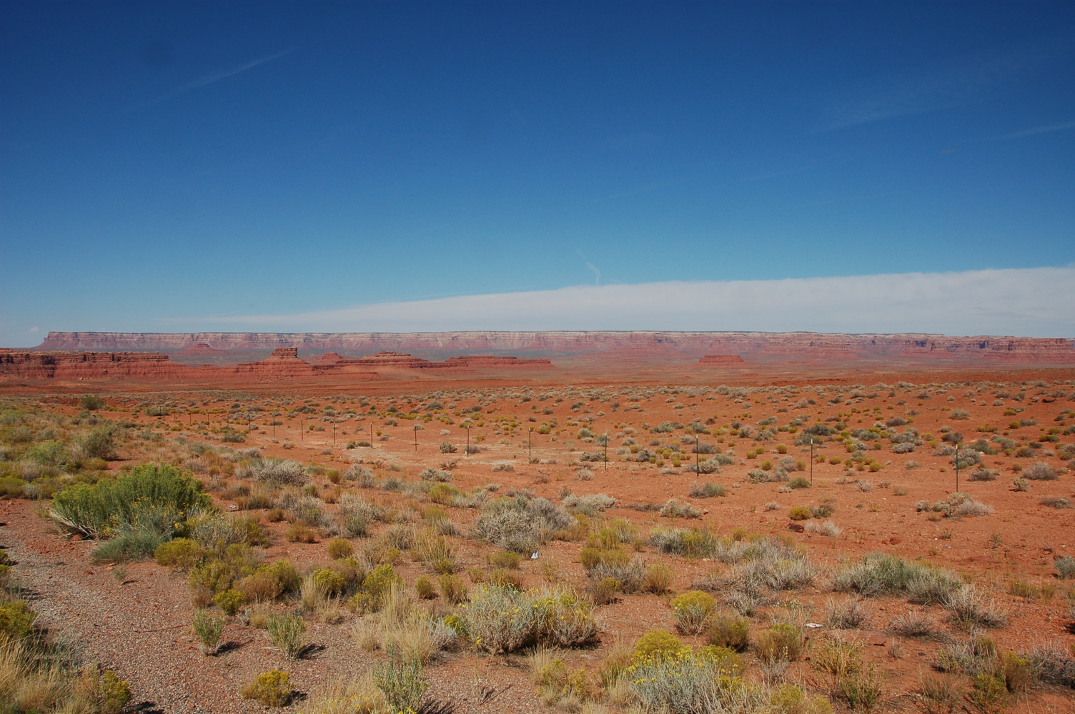
Utah's Valley of the Gods and Cedar Mesa S M L XL headers |
|
S M L XL headers |
|
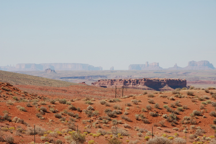
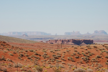
Monument Valley, over 20 miles away S M L XL headers |
|
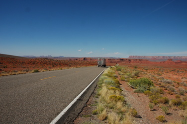
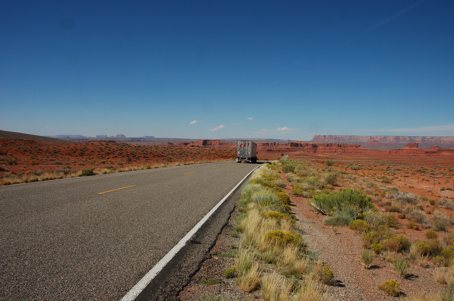
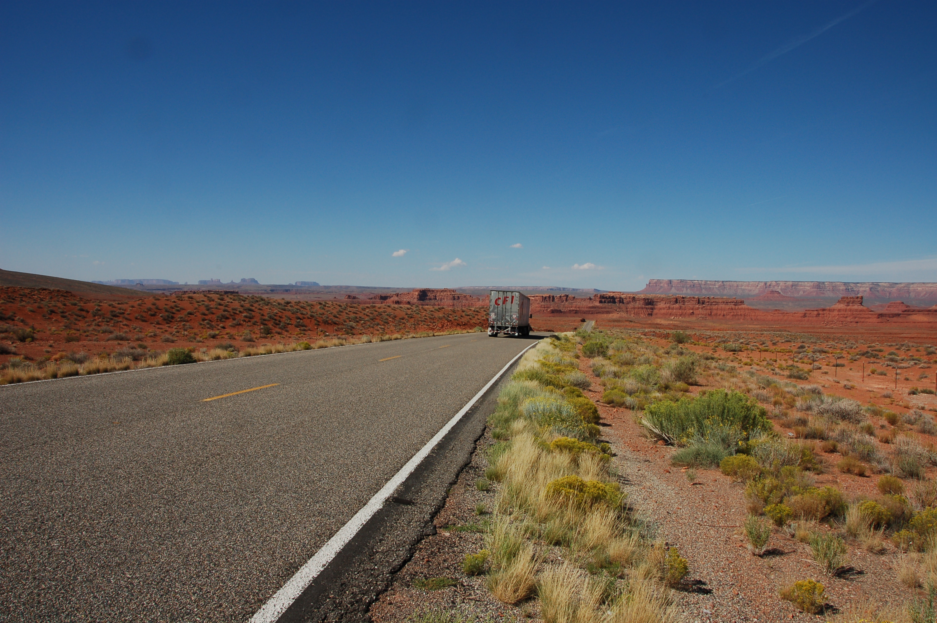
As scenic highways go, US 163 takes some beating S M L XL headers |
|
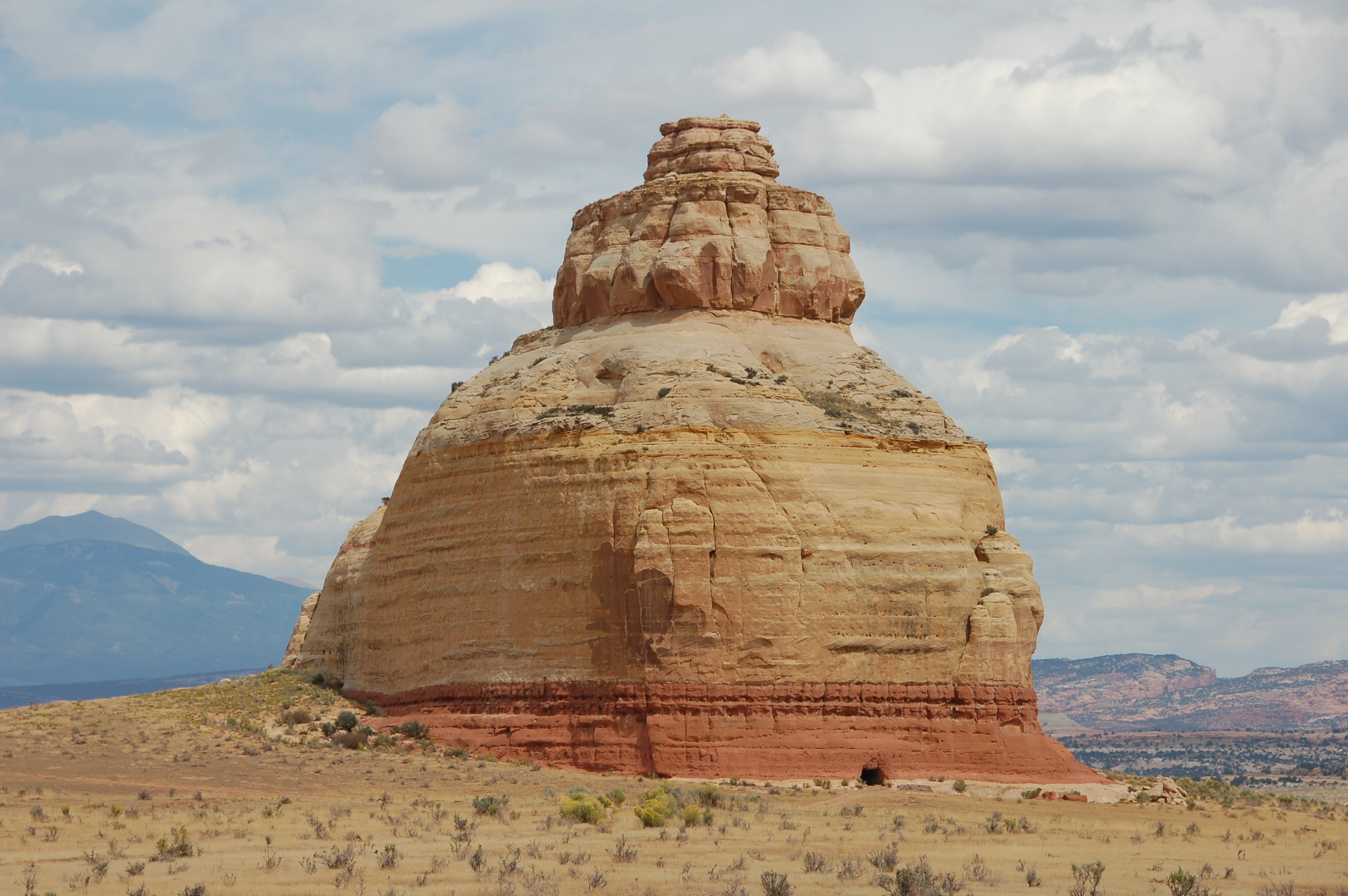
Church Rock, between Monticello and Moab S M L XL headers |
