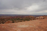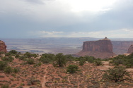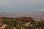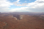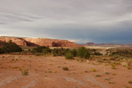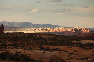
Robin Stevens: Photos: USA 2007: New England and Southwest: Canyonlands National Park, Utah:

Islands in the Sky District


View larger thumbnails | View huge thumbnails

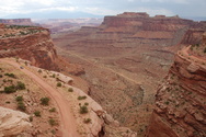
The Shafer trail makes its way down below the visitor centre
S M L XL
headers
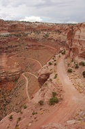
Twisty descent from the plateau
S M L XL
headers
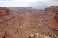
Straighter section of road heading down towards the river
S M L XL
headers
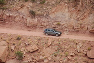
SUV descending the Shafer trail. Makes a change from doing the school run.
S M L XL
headers
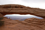
Mesa Arch
S M L XL
headers

S M L XL
headers
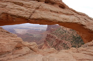
View through the arch
S M L XL
headers
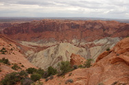
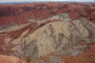
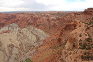
Upheaval Dome: no-one quite knows how this formed; meteorite impact is one possibility
S M L XL
headers

S M L XL
headers

S M L XL
headers
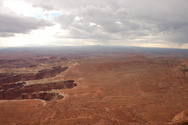
View towards the Green River
S M L XL
headers
View from Holeman Spring Canyon Overlook
S M L XL
headers
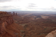
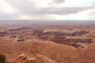
View from Grand View Point Overlook, towards the confluence of the Colorado and Green rivers
S M L XL
headers
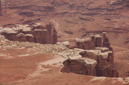
View towards Monument Basin
S M L XL
headers
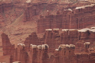
Rock pillars towards the Green River
S M L XL
headers

S M L XL
headers

S M L XL
headers
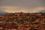
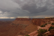
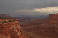
Threatening skies over the rocks
S M L XL
headers
Junction Butte and storms
S M L XL
headers

S M L XL
headers
The Needles
S M L XL
headers
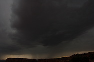
Approaching storm. Time to move to a less exposed location.
S M L XL
headers
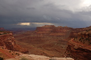
Back by the visitor centre, looking over the Shafer Trail. The storm's now passed over.
S M L XL
headers
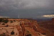
Strike!
S M L XL
headers

S M L XL
headers

S M L XL
headers
The road back to Moab, with sunlight and storms
S M L XL
headers
Rugged rocks to the south
S M L XL
headers

S M L XL
headers
Sunlight strikes badlands to the north
S M L XL
headers
Buttes and low sliprock formations
S M L XL
headers

Creative Commons Licence
© 2022 Robin Stevens, rejs@cynic.org.uk
All images are licensed under a Creative Commons Licence.